Watershed Model
The primary goal of the Cherry Creek Watershed Model is to provide detailed information on hydrologic, sediment and nutrient loading as inputs to the Cherry Creek Reservoir and as boundary conditions for the reservoir model. In addition, the Cherry Creek Watershed Model must represent and quantify loadings from multiple land uses, pollutant sources, along with impacts of water quality controls, and instream processes that affect the pollutant loadings to the reservoir. The HSPF (Hydrological Simulation Program - FORTRAN) model was chosen to represent a watershed that consists of two primary components: land areas and stream channels and the reservoir.
In addition to the hydrology and water quality, the HSPF model simulation incorporates segmentation and characteristics of the Cherry Creek Watershed. Watershed segmentation is based on spatial characteristics of the watershed which include:
- Topography
- Drainage Patterns
- Land uses and Distribution
- Meteorological Variability
- Soils Conditions
The final Model Report, which describes the details of the watershed model development efforts, including model setup procedures and assumptions, available data to support the model, calibration and validation time periods, constituents to be simulated, model scales and resolution, model performance targets, and a discussion of the results, was received in November 2018. The Authority’s Watershed Model Committee is currently reviewing the report.
Useful Links

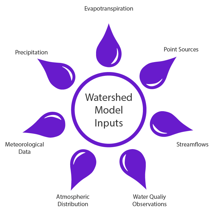
Model Inputs